
Chaseyourdreamzz
VIP
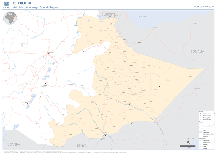
Ethiopia: Administrative map - Somali Region (as of October 2020) - Ethiopia
Map in English on Ethiopia; published on 20 Jan 2021 by OCHA
This map seems to be more detailed then others the Place is huge Mashallah the potential of the area is immense

