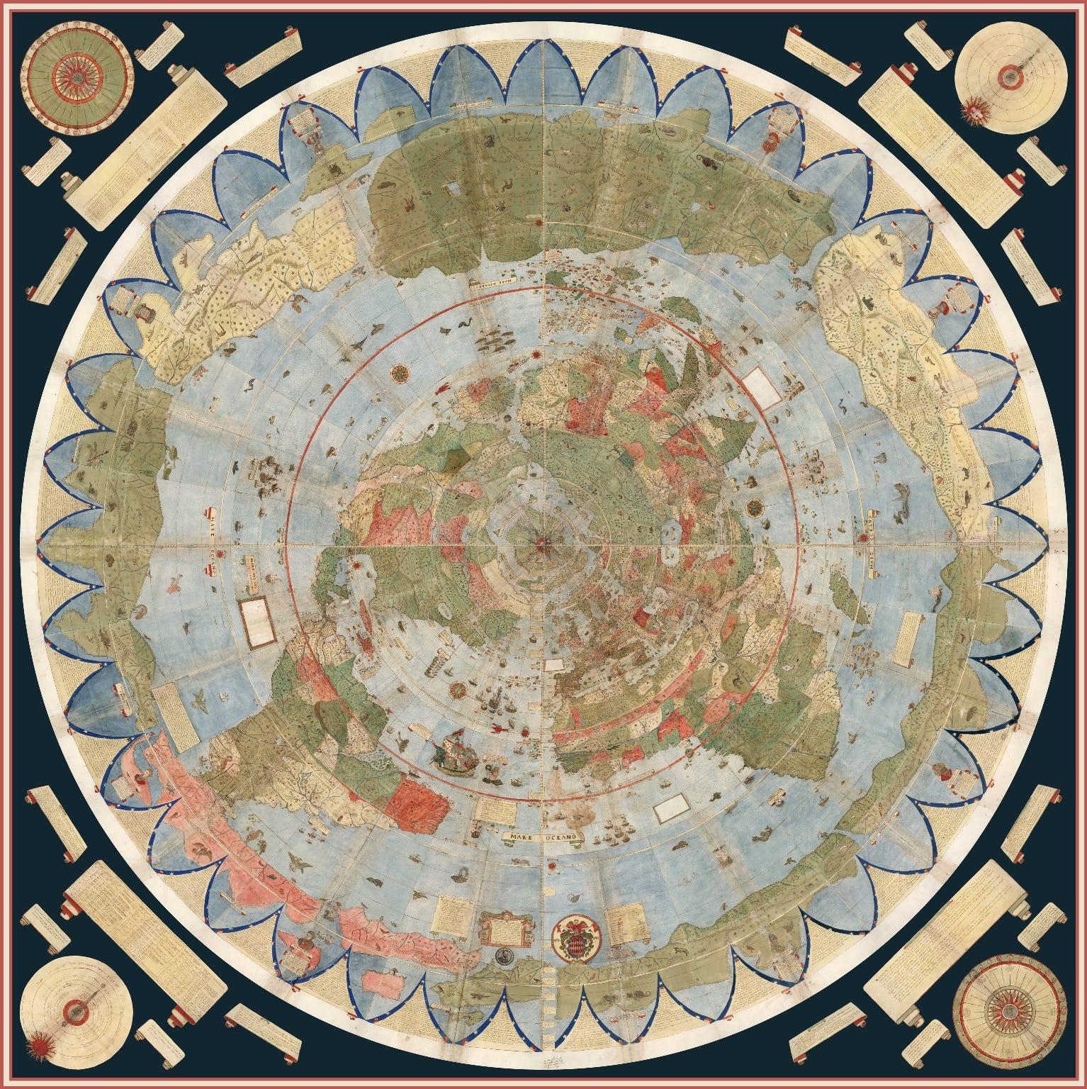
I came across this interesting post on Medium. It was a four part map that had been stitched together to form the largest early world map. The man who made it, Urbano Monte, completed it in early the 1600s.

This is the Horn of Africa in his world map

Btw here's the Medium post if any of you are interested.

This is the Horn of Africa in his world map
Btw here's the Medium post if any of you are interested.
