Idilinaa
VIP
I have been looking at various historical trends and linkages and came across. The Arab Agricultural Revolution https://en.wikipedia.org/wiki/Arab_Agricultural_Revolution which took places through the entirety of the medieval period.
Which made me think that Somalia might have been connected to this development because there is ample references in the historical sources that suggest the Somali Peninsula underwent similar transformation during the same period. I shared an extensive list of information on the medieval period agricultural productivity, sciences and diverse crop usages , comparing it to the lack of agricultural development with the neighboring Christian Amhara/or Abyssinia:
I also mentioned that the Northern Coast between Zayla and Berbera who are otherwise described as barren coastal plains (Aka Guban) was cultivated as well, based on Chinese and Portuguese sources which indicates agricultural technological usage to circumvent lack of rainfall.
Similarly there are also vaulted cisterns and long aqueducts observed near Zayla and Berbera
And also there was a pretty sizable agricultural settlements near a river source(Biyo Gure) a small distance from Berbera , that later combined with trading.

The complete picture is painted by the informations hared by @Emir of Zayla where he qouted a European source that describes the northern-western Somali landscape (Country of Adel):
This agricultural transformation is more obvious today in Southern Somalia as the systems, cisterns, c dams and dykes that were built survive and some are still being used.
I also feel that it might have been an agricultural revolution that started in the North West and expanded to other parts of Somalia.
Which made me think that Somalia might have been connected to this development because there is ample references in the historical sources that suggest the Somali Peninsula underwent similar transformation during the same period. I shared an extensive list of information on the medieval period agricultural productivity, sciences and diverse crop usages , comparing it to the lack of agricultural development with the neighboring Christian Amhara/or Abyssinia:
Let me paint this one last picture a little bit more showing Muslims agricultural productivity and sciences:


What we can gleam from this summary:

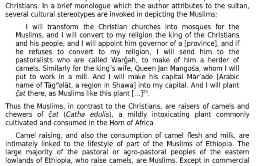
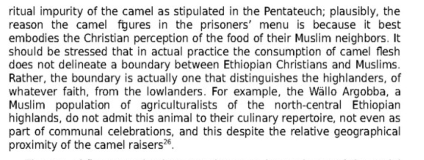
He prefaces this by saying the fruits they cultivated was also typical lowland plants: Sugar in particular is also one of the culinary prohibitions of Christians

This can be further be seen in the description of Zayla and North West Somaliland: Zeyla in particular is described as a city of ''abundance'' by the portuguese


The wide variety of crops and plant use is not suprising because Zayla students in particular were known to study botanical sciences . Their interest in plants and agriculture might be a clue to why Khat and Coffee was prominent and widely cultivated and how medicinal herbs and development of other plants were mentioned in being among the exports in one of the Muslim provinces like BalI
One example:


Contrast this to Christian Ethiopians where there was virtually no development in agriculture or agricultural science or animal husbandry. There is an Ethiopian qoute from a peasant farmer at the end of it sums it all up.
''Yet, because of the above reasons no science of agriculutre or animal husbandry developed in Ethiopia. Agricultural technology, in particular remained unchanged for millennia''
I also mentioned that the Northern Coast between Zayla and Berbera who are otherwise described as barren coastal plains (Aka Guban) was cultivated as well, based on Chinese and Portuguese sources which indicates agricultural technological usage to circumvent lack of rainfall.
If you look at the descriptions Chinese gave to the Northern Somali coast, like the ones i have shown. It doesn't sound like the environment was that much different during the middle ages from how it is in 1800-present
Yet they were still cultivating millet, wheat etc:
''The Land is poor, yet produces millet''
'' The fields are barren, except only for crops of wheat''
''For years on end, there can be no rain''
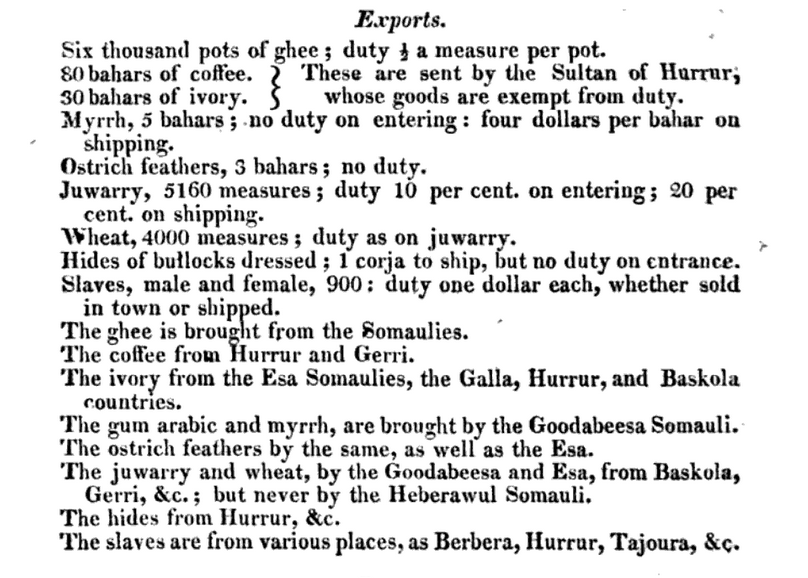
The Portuguese makes no mention of the land or soil quality of Zayla unlike the Chinese but they do nonetheless confirm that they were cultivating grains extensively and even sesame they make oils from which they also exported
''Much grain grows here''

They also describe the berbera sheep which is interesting the blackheaded sheep's distinctness caught their eye i guess.

And the grain storage is a system is to preserve grain during periods of poor rain and harvest, it's more of a work around and adaptation to semi-desert or semi-arid landscape.
Similarly there are also vaulted cisterns and long aqueducts observed near Zayla and Berbera
Just to add to this thread , Zeila and its nearby Island Sa'ad Din have been mentioned by 19th century observers that visited them to have vaulted cisterns and several tanks and a system of cannals/water courses.


It may actually support and explain the early references to water being transported from Zayla to Aden and later Barbars(Somalis) from them settling and building the first cisterns.
I was a bit skeptical first when i first read this: But it could be true.
And also there was a pretty sizable agricultural settlements near a river source(Biyo Gure) a small distance from Berbera , that later combined with trading.

The complete picture is painted by the informations hared by @Emir of Zayla where he qouted a European source that describes the northern-western Somali landscape (Country of Adel):
Related information about water management systems in the Somali Peninsula written by Europeans:
“One of the rivers named the Hawash (Awash perhaps), flows down from the Abyssinian mountains, and receiving from other rivers, takes a circuit before it enters the kingdom of Adel. This river is very broad and deep, and runs through the country of Adel, before the inhabitants divide it into much a multitude of canals, it is then exhausted before it reaches the sea. This renders the country rich in grain, fruit, and other provisions, that part of it is conveyed (exported) into the neighboring kingdoms. In particular, they have plenty of wheat, barley, and millet, and a variety of cows, sheep, and more.” — source: A New System of Geography: Or, a General Description of the World, pg 338
This agricultural transformation is more obvious today in Southern Somalia as the systems, cisterns, c dams and dykes that were built survive and some are still being used.
Through hydraulic engineering it constructed many of the limestone and cisterns of the state that remain in use til today.
such as systems of dykes and dams on the shabelle river, large homes and stone fortifications along with the creation of large stone wells, many of which were still in use well into the 20th century.
A system of irrigation ditches known locally as Kelliyo fed directly from the Shabelle and Jubba Rivers into the plantations where sorghum, maize, beans, grain and cotton were grown during the gu (Spring in Somali) and xagaa (Summer in Somali) seasons of the Somali Calendar. This irrigation system was supported by numerous dikes and dams. To determine the average size of a farm, a land measurement system was also invented with moos, taraab and guldeed being the terms used.
I also feel that it might have been an agricultural revolution that started in the North West and expanded to other parts of Somalia.


